Opalai Scanto3d vs Ultimaps

Both tools are evenly matched across our comparison criteria.
Rating
Neither tool has been rated yet.
Popularity
Opalai Scanto3d is more popular with 29 views.
Pricing
Opalai Scanto3d uses paid pricing while Ultimaps uses freemium pricing.
Community Reviews
Both tools have a similar number of reviews.
| Criteria | Opalai Scanto3d | Ultimaps |
|---|---|---|
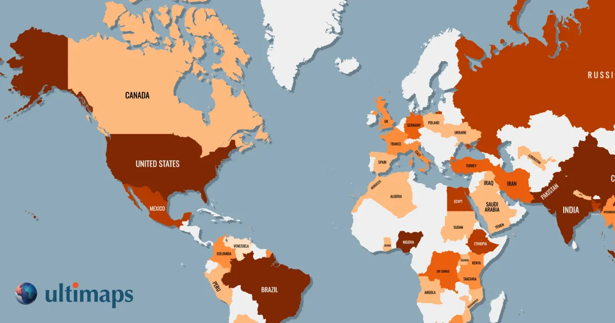
| Description | Opalai Scanto3d leverages advanced spatial AI to automate the transformation of raw 3D scan data, such as point clouds, into intelligent, structured 3D CAD and BIM models. It serves professionals in architecture, engineering, and construction (AEC), as well as manufacturing, by significantly enhancing productivity and data accuracy. The platform enables rapid creation of as-built documentation, facilitates precise quality control, and supports comprehensive facility management workflows, distinguishing itself through its high degree of automation and semantic understanding of spatial data. | Ultimaps is an AI-powered map visualization tool that allows users to create interactive and custom geographic maps. It transforms complex location-based data or textual prompts into clear, dynamic visual representations for analysis, storytelling, and presentation. |
| What It Does | The tool processes dense point cloud data captured from laser scanners or LiDAR, applying proprietary AI algorithms to automatically recognize and extract geometric and semantic information. It converts unstructured scan data into intelligent, parametric objects that form complete CAD and BIM models. This automation drastically reduces the manual effort and time typically required for scan-to-model workflows. | Generates highly customizable, interactive maps from user-provided data or natural language prompts. It visualizes geographical insights, enabling exploration and sharing of location-based information without coding. |
| Pricing Type | paid | freemium |
| Pricing Model | paid | freemium |
| Pricing Plans | Custom Enterprise: Contact for Quote | Free Trial: Free, Pro: 29, Business: Custom |
| Rating | N/A | N/A |
| Reviews | N/A | N/A |
| Views | 29 | 6 |
| Verified | No | No |
| Key Features | AI-Powered Feature Recognition, Automated CAD/BIM Model Generation, Semantic Object Extraction, As-Built Documentation, Quality Control & Variance Analysis | N/A |
| Value Propositions | Accelerated Scan-to-Model Workflow, Enhanced Model Accuracy & Detail, Reduced Manual Labor & Costs | N/A |
| Use Cases | As-Built Documentation for Renovations, Construction Progress Monitoring, Facility Management & Operations, Infrastructure Inspection & Analysis, Manufacturing Plant Layout Planning | N/A |
| Target Audience | This tool is primarily designed for architects, engineers, contractors, surveyors, and facility managers within the AEC sector. It also caters to manufacturing professionals requiring precise as-built documentation and digital representations of factory layouts or machinery. Anyone involved in projects requiring accurate 3D modeling from existing conditions will benefit. | Data analysts, researchers, businesses, educators, journalists, urban planners, marketers, and anyone needing to visualize and communicate location-based data effectively. |
| Categories | Design, Business & Productivity, Data Analysis, Data Processing | Data Analysis, Data Visualization |
| Tags | 3d scanning, point cloud, bim, cad, aec, spatial ai, as-built documentation, digital twin, construction tech, manufacturing | N/A |
| GitHub Stars | N/A | N/A |
| Last Updated | N/A | N/A |
| Website | www.opal-ai.com | ultimaps.com |
| GitHub | N/A | N/A |
Who is Opalai Scanto3d best for?
This tool is primarily designed for architects, engineers, contractors, surveyors, and facility managers within the AEC sector. It also caters to manufacturing professionals requiring precise as-built documentation and digital representations of factory layouts or machinery. Anyone involved in projects requiring accurate 3D modeling from existing conditions will benefit.
Who is Ultimaps best for?
Data analysts, researchers, businesses, educators, journalists, urban planners, marketers, and anyone needing to visualize and communicate location-based data effectively.