Ultimaps
Last updated:
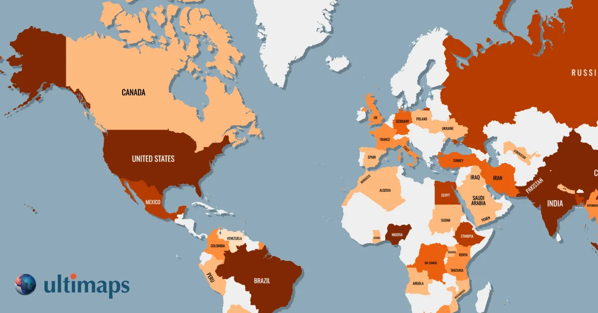
Ultimaps is an AI-powered map visualization tool that allows users to create interactive and custom geographic maps. It transforms complex location-based data or textual prompts into clear, dynamic visual representations for analysis, storytelling, and presentation.
What It Does
Generates highly customizable, interactive maps from user-provided data or natural language prompts. It visualizes geographical insights, enabling exploration and sharing of location-based information without coding.
Pricing
Pricing Plans
Limited free access to create and explore basic maps.
- 5 maps
- Basic features
- Public maps only
Full access for professionals needing extensive map creation and privacy.
- Unlimited maps
- Private maps
- Advanced features
- Priority support
Tailored solutions for teams and organizations with specific needs.
- Team collaboration
- Dedicated support
- Advanced integrations
- Custom branding
Key Features
AI-powered map creation, data import capabilities, prompt-based map generation, interactive and customizable maps, various map templates, no-code interface, easy sharing options.
Target Audience
Data analysts, researchers, businesses, educators, journalists, urban planners, marketers, and anyone needing to visualize and communicate location-based data effectively.
Value Proposition
Simplifies complex geographical data visualization, making it accessible and interactive for informed decision-making, engaging presentations, and compelling data storytelling.
Use Cases
Visualizing sales performance by region, mapping demographic trends, illustrating research findings, planning logistics and routes, creating interactive infographics for publications.
Frequently Asked Questions
Ultimaps offers a free plan with limited features. Paid plans are available for additional features and capabilities. Available plans include: Free Trial, Pro, Business.
Generates highly customizable, interactive maps from user-provided data or natural language prompts. It visualizes geographical insights, enabling exploration and sharing of location-based information without coding.
Ultimaps is best suited for Data analysts, researchers, businesses, educators, journalists, urban planners, marketers, and anyone needing to visualize and communicate location-based data effectively..
Get new AI tools weekly
Join readers discovering the best AI tools every week.